దస్త్రం:Arctic Circle sign.jpg

ఈ మునుజూపు పరిమాణం: 800 × 600 పిక్సెళ్ళు. ఇతర రిజల్యూషన్లు: 320 × 240 పిక్సెళ్ళు | 640 × 480 పిక్సెళ్ళు | 1,024 × 768 పిక్సెళ్ళు | 1,280 × 960 పిక్సెళ్ళు | 2,272 × 1,704 పిక్సెళ్ళు.
అసలు దస్త్రం (2,272 × 1,704 పిక్సెళ్ళు, ఫైలు పరిమాణం: 1.38 MB, MIME రకం: image/jpeg)
This is a file from the Wikimedia Commons. Information from its description page there is shown below. Commons is a freely licensed media file repository. You can help. |
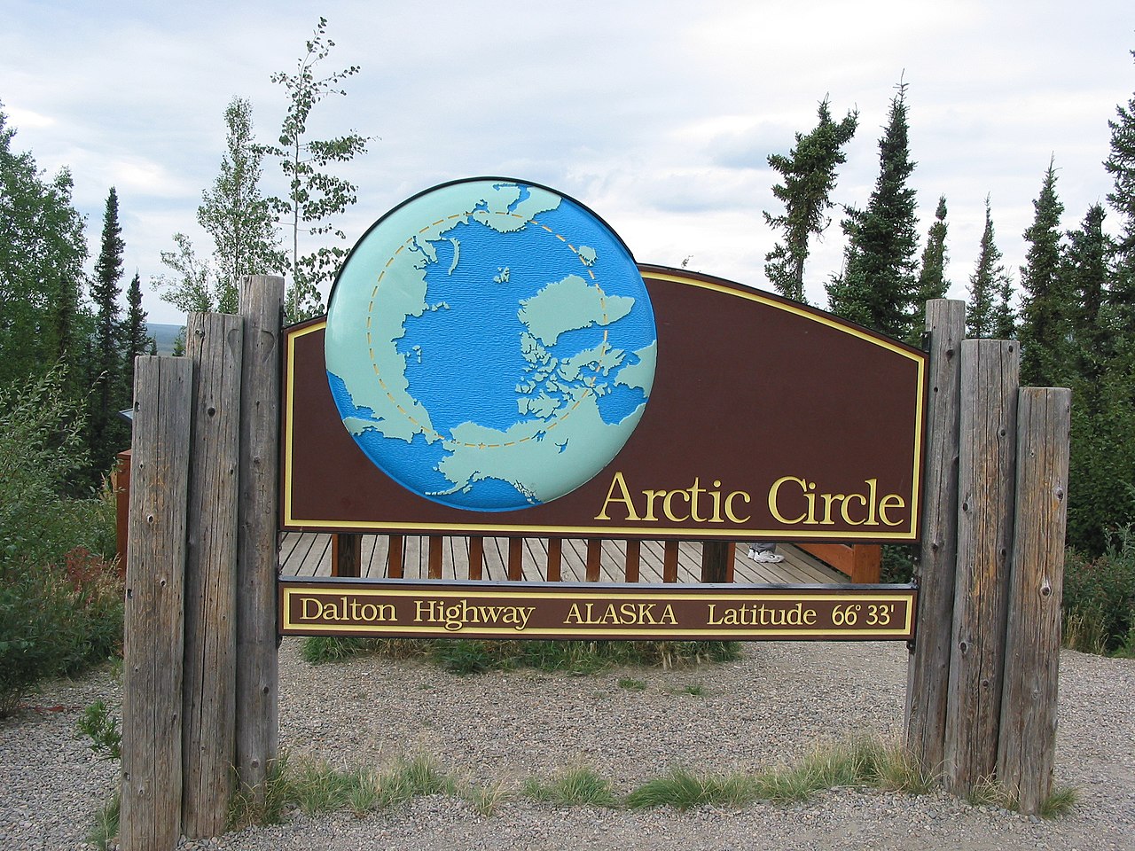
| వివరణ | This is a road sign marking the location of the Arctic Circle along the Dalton Highway. | ||
| తేదీ | |||
| మూలం | Originally from en.wikipedia; description page was here. | ||
| కర్త | Ixfd64 | ||
| అనుమతి (ఈ దస్త్రాన్ని పునర్వినియోగించుకోవడం) |
|
| Object location | | View this and other nearby images on: OpenStreetMap |
|---|
ఫైలు చరితం
తేదీ/సమయం ను నొక్కి ఆ సమయాన ఫైలు ఎలా ఉండేదో చూడవచ్చు.
| తేదీ/సమయం | నఖచిత్రం | కొలతలు | వాడుకరి | వ్యాఖ్య | |
|---|---|---|---|---|---|
| ప్రస్తుత | 16:58, 29 జూలై 2007 | | 2,272 × 1,704 (1.38 MB) | Gridge | {{Information |Description=This is a road sign marking the location of the Arctic Circle along the Dalton Highway. |Source=Originally from [http://en.wikipedia.org en.wikipedia]; description page is/was [http://en.wikipedia.org/wiki/Image:Arctic_Circle_si |
లింకులు
కింది పేజీలలో ఈ ఫైలుకు లింకులు ఉన్నాయి:
సార్వత్రిక ఫైలు వాడుక
ఈ దస్త్రాన్ని ఈ క్రింది ఇతర వికీలు ఉపయోగిస్తున్నాయి:
- ast.wikipedia.org లో వాడుక
- bg.wikipedia.org లో వాడుక
- bjn.wikipedia.org లో వాడుక
- ckb.wikipedia.org లో వాడుక
- de.wikipedia.org లో వాడుక
- en.wikipedia.org లో వాడుక
- en.wikivoyage.org లో వాడుక
- eo.wikipedia.org లో వాడుక
- es.wikipedia.org లో వాడుక
- fa.wikipedia.org లో వాడుక
- fi.wikipedia.org లో వాడుక
- gv.wikipedia.org లో వాడుక
- hi.wikipedia.org లో వాడుక
- id.wikipedia.org లో వాడుక
- ilo.wikipedia.org లో వాడుక
- it.wikipedia.org లో వాడుక
- ja.wikipedia.org లో వాడుక
- ko.wikipedia.org లో వాడుక
- no.wikipedia.org లో వాడుక
- pl.wikipedia.org లో వాడుక
- pt.wikipedia.org లో వాడుక
- ro.wikipedia.org లో వాడుక
- ru.wikipedia.org లో వాడుక
- sw.wikipedia.org లో వాడుక
- ta.wikipedia.org లో వాడుక
- uk.wikipedia.org లో వాడుక
- vi.wikipedia.org లో వాడుక