దస్త్రం:Bay of Bengal location map simple.svg

ఈ ఫైలు SVG కు చెందిన ఈ మునుజూపు PNG పరిమాణం: 370 × 383 పిక్సెళ్ళు. ఇతర రిజల్యూషన్లు: 232 × 240 పిక్సెళ్ళు | 464 × 480 పిక్సెళ్ళు | 742 × 768 పిక్సెళ్ళు | 989 × 1,024 పిక్సెళ్ళు | 1,978 × 2,048 పిక్సెళ్ళు.
అసలు దస్త్రం (SVG ఫైలు, నామమాత్రంగా 370 × 383 పిక్సెళ్ళు, ఫైలు పరిమాణం: 335 KB)
This is a file from the Wikimedia Commons. Information from its description page there is shown below. Commons is a freely licensed media file repository. You can help. |
సారాంశం
| వివరణ |
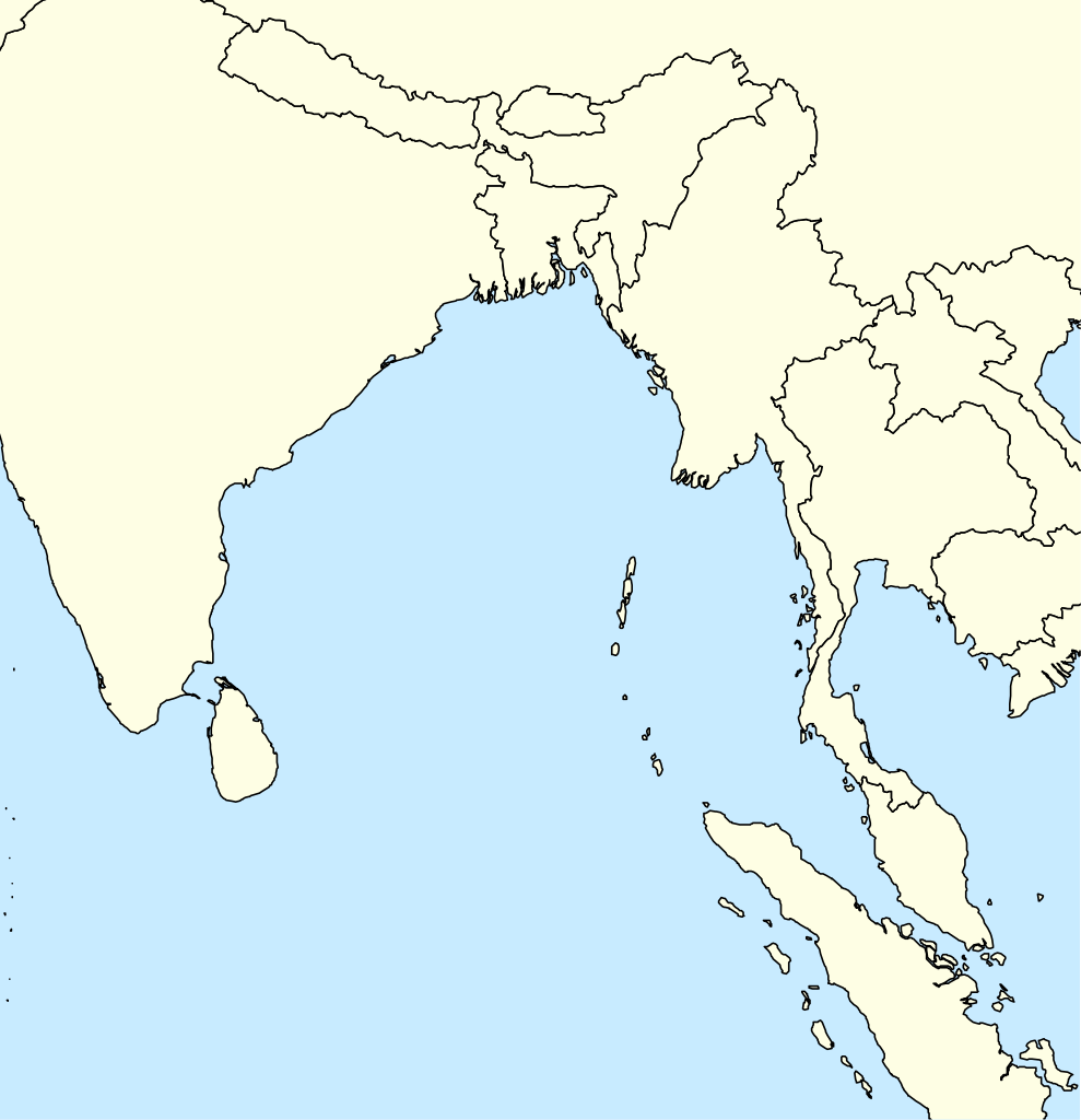
English: A basic map of the Bay of Bengal intended for use with locator templates.
Latitude extent: 31 to -4, longitude: 73.2 to 107. The coordinate system used is the equirectangular WGS 1984 (it makes it very easy to handle with the locator templates, but it's not really suitable for other uses). |
| తేదీ | |
| మూలం | స్వంత కృతి |
| కర్త | Uanfala |
లైసెన్సింగ్
నేను, ఈ కృతి యొక్క కాపీహక్కుదారుని, దీన్ని ఈ లైసెన్సు క్రింద ఇందుమూలముగా ప్రచురిస్తున్నాను:
This file is licensed under the Creative Commons Attribution-Share Alike 4.0 International license.
- ఇలా చేసేందుకు మీకు స్వేచ్ఛ ఉంది:
- పంచుకోడానికి – ఈ కృతిని కాపీ చేసుకోవచ్చు, పంపిణీ చేయవచ్చు, ప్రసారమూ చేయవచ్చు
- రీమిక్స్ చేయడానికి – కృతిని అనుకరించడానికి
- క్రింది షరతులకు లోబడి:
- ఆపాదింపు – సముచితమైన శ్రేయస్సును ఇవ్వాలి, లైసెన్సుకు లింకు ఇవ్వాలి, మార్పులేమైనా చేస్తే వాటిని సూచించాలి. అందుకు సముచితమైన పద్ధతి దేన్నైనా అవలంబించవచ్చు. కానీ మీకూ మీ వాడుకకూ హక్కుదారు అనుమతించారు అనే అర్థం వచ్చేటట్లుగా మాత్రం కాదు.
- share alike – మీరు ఈ కృతిని అనుకరిస్తే, మారిస్తే, లేదా మెరుగుపరిస్తే తత్ఫలిత కృతిని ఇదే లైసెన్సు లేదా దీనికి అనుగుణ్యమైన లైసెన్సు క్రింద మాత్రమే పంపిణీ చేయాలి.
ఫైలు చరితం
తేదీ/సమయం ను నొక్కి ఆ సమయాన ఫైలు ఎలా ఉండేదో చూడవచ్చు.
| తేదీ/సమయం | నఖచిత్రం | కొలతలు | వాడుకరి | వ్యాఖ్య | |
|---|---|---|---|---|---|
| ప్రస్తుత | 05:29, 7 ఏప్రిల్ 2019 | | 370 × 383 (335 KB) | Uanfala | User created page with UploadWizard |
లింకులు
కింది పేజీలలో ఈ ఫైలుకు లింకులు ఉన్నాయి:
సార్వత్రిక ఫైలు వాడుక
ఈ దస్త్రాన్ని ఈ క్రింది ఇతర వికీలు ఉపయోగిస్తున్నాయి:
- bn.wikipedia.org లో వాడుక
- en.wikipedia.org లో వాడుక
- Banda Aceh
- Car Nicobar
- Port Blair
- North Andaman Island
- Little Andaman
- Great Nicobar Island
- Nancowry Island
- Trinket Island
- Middle Andaman Island
- Ten Degree Channel
- Barren Island (Andaman Islands)
- Car language
- Nicobar district
- Diglipur
- Mayabunder
- Narcondam Island
- Sabang, Aceh
- Weh Island
- Sentinelese language
- Coco Islands
- Little Nicobar
- Ross Island, South Andaman district
- Shompen language
- Kamorta, Nancowry
- Chaura language
- Maimun Saleh Airport
- Duncan Passage
- Teressa language
- Southern Nicobarese language
- Preparis
- 1762 Arakan earthquake
- North Brother Island (Andaman Islands)
- North Cinque Island
- Rondo Island
- Landfall Island
- Alukian
- Man Island (Nicobar Islands)
- Meroe Island
- Cleugh Passage
- Murga Island
- Long Island (Andaman Islands)
- North Passage Island
- Napier Bay Islands
- Little Andaman Group
- Breueh Island
- Module:Location map/data/Bay of Bengal
ఈ దస్త్రపు మరింత సార్వత్రిక వాడుకను చూడండి.