దస్త్రం:LocationSouthAmerica.png
ఈ మునుజూపు పరిమాణం: 800 × 407 పిక్సెళ్ళు. ఇతర రిజల్యూషన్లు: 320 × 163 పిక్సెళ్ళు | 640 × 326 పిక్సెళ్ళు | 1,024 × 521 పిక్సెళ్ళు | 1,280 × 651 పిక్సెళ్ళు | 2,759 × 1,404 పిక్సెళ్ళు.
అసలు దస్త్రం (2,759 × 1,404 పిక్సెళ్ళు, ఫైలు పరిమాణం: 101 KB, MIME రకం: image/png)
This is a file from the Wikimedia Commons. Information from its description page there is shown below. Commons is a freely licensed media file repository. You can help. |

|
File:Location of South America.svg is a vector version of this file. It should be used in place of this PNG file when not inferior.
File:LocationSouthAmerica.png → File:Location of South America.svg
For more information, see Help:SVG. |
 |
| వివరణ |
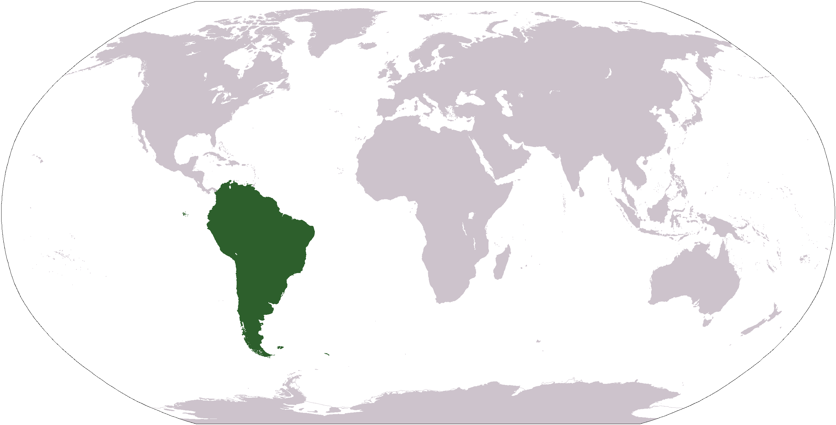
Deutsch: Weltkarte mit Fokus auf Südamerika
English: World map depicting South America
Esperanto: Mondmapo bildiganta Sudamerikon
Español: Ubicación de América del Sur |
| తేదీ | (UTC) |
| మూలం | map adapted from PDF world map at CIA World Fact Book |
| కర్త | Central Intelligence Agency, Maximaximax, Ghalas, Huhsunqu, E Pluribus Anthony, Cogito ergo sumo, and Snoopen82 (via Image:LocationSouthAmerica2.png per this request) |
| ఇతర కూర్పులు |
Derivative works of this file: Wikinews Ameryka Południowa.png Formerly Image:LocationSouthAmerica2.png. |
This image is in the public domain because it contains materials that originally came from the United States Central Intelligence Agency's World Factbook.
|
 |
ఫైలు చరితం
తేదీ/సమయం ను నొక్కి ఆ సమయాన ఫైలు ఎలా ఉండేదో చూడవచ్చు.
| తేదీ/సమయం | నఖచిత్రం | కొలతలు | వాడుకరి | వ్యాఖ్య | |
|---|---|---|---|---|---|
| ప్రస్తుత | 12:39, 19 జనవరి 2008 | | 2,759 × 1,404 (101 KB) | F l a n k e r | Transparency |
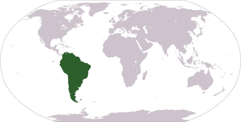
| 18:03, 16 ఆగస్టు 2007 |  | 2,759 × 1,404 (46 KB) | Jeff G. | Updated version without Panama per Commons:Administrators' noticeboard/Attention#Move_image_request_Image:LocationSouthAmerica2.png_to_Image:LocationSouthAmerica.png_.28user_account_too_new.29 | |
| 04:50, 10 సెప్టెంబరు 2006 |  | 2,759 × 1,404 (55 KB) | Cogito ergo sumo~commonswiki | World map: South America (location) | |
| 04:48, 22 జనవరి 2006 |  | 2,759 × 1,404 (55 KB) | E Pluribus Anthony~commonswiki | World map: South America (location) | |
| 22:34, 15 జనవరి 2006 |  | 1,381 × 703 (48 KB) | Huhsunqu | ||
| 12:33, 29 ఏప్రిల్ 2005 |  | 1,381 × 703 (16 KB) | Ghalas | Half the size {{PD-USGov-CIA-WF}} | |
| 08:32, 28 ఏప్రిల్ 2005 |  | 2,759 × 1,404 (39 KB) | Ghalas | Extracted from CIA World Factbook PDF world map, then rasterized and colored. {{PD}} | |
| 05:33, 29 డిసెంబరు 2004 |  | 250 × 116 (11 KB) | Maximaximax | Location of South America (from en:) {{GFDL}} |
లింకులు
కింది పేజీలలో ఈ ఫైలుకు లింకులు ఉన్నాయి:
సార్వత్రిక ఫైలు వాడుక
ఈ దస్త్రాన్ని ఈ క్రింది ఇతర వికీలు ఉపయోగిస్తున్నాయి:
- ace.wikipedia.org లో వాడుక
- af.wikipedia.org లో వాడుక
- als.wikipedia.org లో వాడుక
- am.wikipedia.org లో వాడుక
- ang.wikipedia.org లో వాడుక
- ar.wikipedia.org లో వాడుక
- ar.wikinews.org లో వాడుక
- arz.wikipedia.org లో వాడుక
- as.wikipedia.org లో వాడుక
- azb.wikipedia.org లో వాడుక
- az.wikipedia.org లో వాడుక
- bat-smg.wikipedia.org లో వాడుక
ఈ దస్త్రపు మరింత సార్వత్రిక వాడుకను చూడండి.