దస్త్రం:MaharashtraSangli.png
ఈ మునుజూపు పరిమాణం: 778 × 600 పిక్సెళ్ళు. ఇతర రిజల్యూషన్లు: 312 × 240 పిక్సెళ్ళు | 623 × 480 పిక్సెళ్ళు | 997 × 768 పిక్సెళ్ళు | 1,280 × 987 పిక్సెళ్ళు | 2,168 × 1,671 పిక్సెళ్ళు.
అసలు దస్త్రం (2,168 × 1,671 పిక్సెళ్ళు, ఫైలు పరిమాణం: 426 KB, MIME రకం: image/png)
This is a file from the Wikimedia Commons. Information from its description page there is shown below. Commons is a freely licensed media file repository. You can help. |
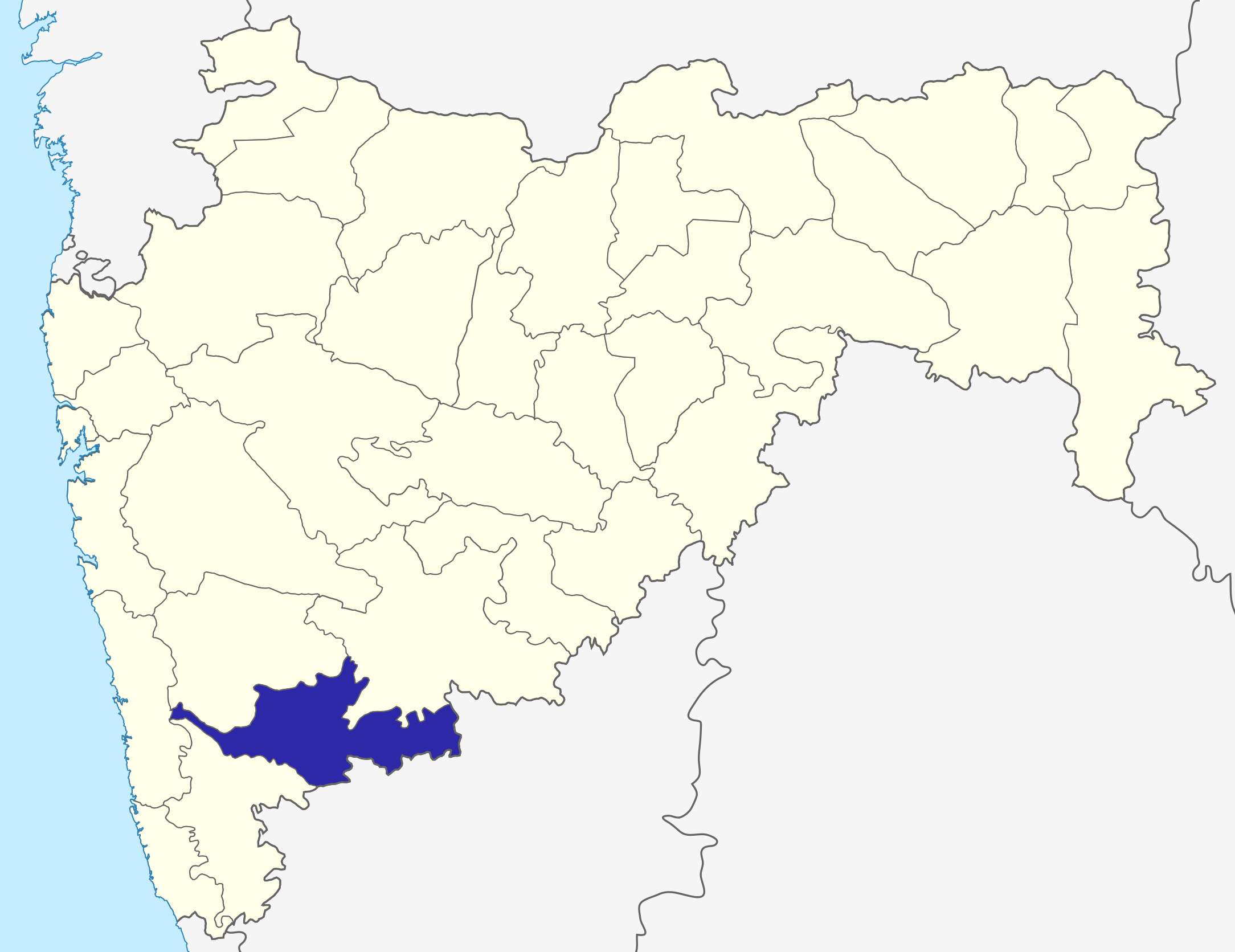
Sangli dist
Source: Drawn by me
| నేను, ఈ కృతి యొక్క కాపీహక్కుదారుని, ఈ కృతిని సార్వజనీనం'గా విడుదల చేస్తున్నాను. ఇది ప్రపంచవ్యాప్తంగా వర్తిస్తుంది. కొన్ని దేశాల్లో ఇది చట్టబద్ధంగా సాధ్యంకాకపోవచ్చు; అయితే: ఈ కృతిని ఎటువంటి షరతులు లేకుండా, అట్టి షరతులు చట్టం వల్ల తప్పనిసరి అయితే తప్ప, ఏ ఉద్దేశానికైనా ఉపయోగించుకునే హక్కును ఎవరికైనా నేను ప్రదానం చేస్తున్నాను. |
\
ఫైలు చరితం
తేదీ/సమయం ను నొక్కి ఆ సమయాన ఫైలు ఎలా ఉండేదో చూడవచ్చు.
| తేదీ/సమయం | నఖచిత్రం | కొలతలు | వాడుకరి | వ్యాఖ్య | |
|---|---|---|---|---|---|
| ప్రస్తుత | 06:31, 6 అక్టోబరు 2015 | | 2,168 × 1,671 (426 KB) | Abhijitsathe | State map updated to reflect new Palghar district |
| 00:09, 22 సెప్టెంబరు 2009 |  | 2,789 × 2,232 (954 KB) | Abhijitsathe | India map inset | |
| 15:41, 10 ఏప్రిల్ 2009 |  | 2,789 × 2,232 (795 KB) | Abhijitsathe | {{Information |Description=Sangli district in Maharashtra |Source=*File:Maharashtra_locator_map.svg |Date=2009-04-10 16:38 (UTC) |Author=*File:Maharashtra_locator_map.svg: '''PlaneMad''' *derivative work: ~~~ |Permission=see below |other_versi | |
| 17:29, 6 ఆగస్టు 2005 |  | 200 × 161 (4 KB) | Nichalp | Sangli dist Source: Drawn by me {{PD-self}} Category:Maharashtra district maps\ |
లింకులు
ఈ ఫైలును వాడుతున్న పేజీలు లేవు.