దస్త్రం:Soldier Field Chicago aerial view.jpg

ఈ మునుజూపు పరిమాణం: 753 × 599 పిక్సెళ్ళు. ఇతర రిజల్యూషన్లు: 302 × 240 పిక్సెళ్ళు | 603 × 480 పిక్సెళ్ళు | 965 × 768 పిక్సెళ్ళు | 1,280 × 1,019 పిక్సెళ్ళు | 1,500 × 1,194 పిక్సెళ్ళు.
అసలు దస్త్రం (1,500 × 1,194 పిక్సెళ్ళు, ఫైలు పరిమాణం: 606 KB, MIME రకం: image/jpeg)
This is a file from the Wikimedia Commons. Information from its description page there is shown below. Commons is a freely licensed media file repository. You can help. |
| వివరణ |
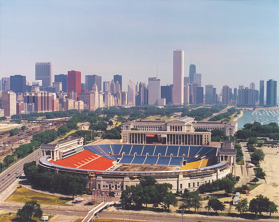
English: Aerial view of Soldier Field and the skyline of Chicago, Illinois, USA. |
|||
| తేదీ | ||||
| మూలం |
U.S. Army Corps of Engineers Digital Visual Library Image page Image description page Digital Visual Library home page |
|||
| కర్త | Dale Fisher, U.S. Army Corps of Engineers | |||
| అనుమతి (ఈ దస్త్రాన్ని పునర్వినియోగించుకోవడం) |
|
|||
| ఇతర కూర్పులు | ||||
| Location | Chicago, Illinois, USA |
.jpg)
| Camera location | | View this and other nearby images on: OpenStreetMap |
|---|
ఫైలు చరితం
తేదీ/సమయం ను నొక్కి ఆ సమయాన ఫైలు ఎలా ఉండేదో చూడవచ్చు.
| తేదీ/సమయం | నఖచిత్రం | కొలతలు | వాడుకరి | వ్యాఖ్య | |
|---|---|---|---|---|---|
| ప్రస్తుత | 00:26, 1 ఏప్రిల్ 2007 | | 1,500 × 1,194 (606 KB) | DanMS | {{Information | Description = {{en|Aerial view of Soldier Field and the skyline of Chicago, Illinois, USA.}} | Source = U.S. Army Corps of Engineers Digital Visual Library<br />[http://images.usace.army.mil/images/Hires/LRE0016.jpg Image page]< |
లింకులు
ఈ ఫైలును వాడుతున్న పేజీలు లేవు.
సార్వత్రిక ఫైలు వాడుక
ఈ దస్త్రాన్ని ఈ క్రింది ఇతర వికీలు ఉపయోగిస్తున్నాయి:
- af.wikipedia.org లో వాడుక
- als.wikipedia.org లో వాడుక
- am.wikipedia.org లో వాడుక
- ast.wikipedia.org లో వాడుక
- bg.wikipedia.org లో వాడుక
- bs.wikipedia.org లో వాడుక
- ca.wikipedia.org లో వాడుక
- de.wikipedia.org లో వాడుక
- el.wikipedia.org లో వాడుక
- en.wikipedia.org లో వాడుక
- es.wikipedia.org లో వాడుక
- fa.wikipedia.org లో వాడుక
- fr.wikipedia.org లో వాడుక
- fy.wikipedia.org లో వాడుక
- he.wikipedia.org లో వాడుక
- hi.wikipedia.org లో వాడుక
- hu.wikipedia.org లో వాడుక
- hy.wikipedia.org లో వాడుక
- id.wikipedia.org లో వాడుక
- it.wikipedia.org లో వాడుక
- ja.wikipedia.org లో వాడుక
- ka.wikipedia.org లో వాడుక
- kn.wikipedia.org లో వాడుక
- ko.wikipedia.org లో వాడుక
ఈ దస్త్రపు మరింత సార్వత్రిక వాడుకను చూడండి.