దస్త్రం:Europe blank laea location map.svg

ఈ ఫైలు SVG కు చెందిన ఈ మునుజూపు PNG పరిమాణం: 701 × 599 పిక్సెళ్ళు. ఇతర రిజల్యూషన్లు: 281 × 240 పిక్సెళ్ళు | 561 × 480 పిక్సెళ్ళు | 898 × 768 పిక్సెళ్ళు | 1,198 × 1,024 పిక్సెళ్ళు | 2,395 × 2,048 పిక్సెళ్ళు | 1,401 × 1,198 పిక్సెళ్ళు.
అసలు దస్త్రం (SVG ఫైలు, నామమాత్రంగా 1,401 × 1,198 పిక్సెళ్ళు, ఫైలు పరిమాణం: 1.42 MB)
This is a file from the Wikimedia Commons. Information from its description page there is shown below. Commons is a freely licensed media file repository. You can help. |
Bosnia
సారాంశం
| వివరణ |
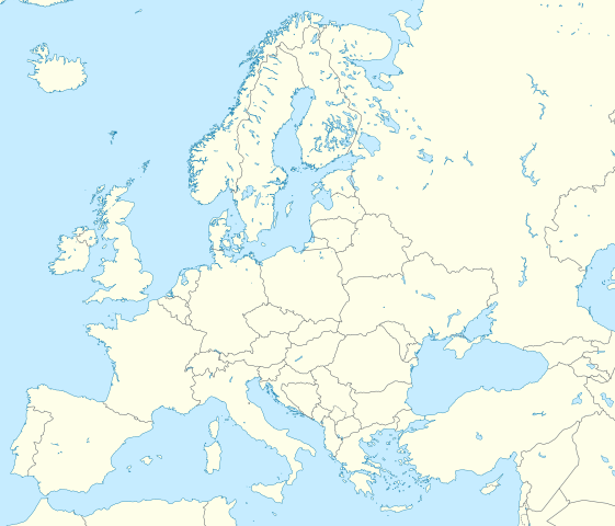
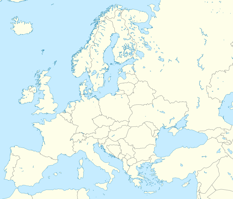
Deutsch: Positionskarte Europa; Politisch mit Staatsgrenzen; Flächentreue Azimutalprojektion
English: Location map Europe; Political with state boundaries; Lambert azimuthal equal-area projection
|
| తేదీ | |
| మూలం |
స్వంత కృతి
|
| కర్త | Alexrk2 |
| ఇతర కూర్పులు |
Derivative works of this file: []
|


.svg)


|
This map has been made or improved in the German Kartenwerkstatt (Map Lab). You can propose maps to improve as well.
|
లైసెన్సింగ్
నేను, ఈ కృతి యొక్క కాపీహక్కుదారుని, దీన్ని ఈ లైసెన్సు క్రింద ఇందుమూలముగా ప్రచురిస్తున్నాను:
ఈ దస్త్రం క్రియేటివ్ కామన్స్ Attribution-Share Alike 3.0 Unported లైసెన్సు క్రింద లభ్యం.
- ఇలా చేసేందుకు మీకు స్వేచ్ఛ ఉంది:
- పంచుకోడానికి – ఈ కృతిని కాపీ చేసుకోవచ్చు, పంపిణీ చేయవచ్చు, ప్రసారమూ చేయవచ్చు
- రీమిక్స్ చేయడానికి – కృతిని అనుకరించడానికి
- క్రింది షరతులకు లోబడి:
- ఆపాదింపు – సముచితమైన శ్రేయస్సును ఇవ్వాలి, లైసెన్సుకు లింకు ఇవ్వాలి, మార్పులేమైనా చేస్తే వాటిని సూచించాలి. అందుకు సముచితమైన పద్ధతి దేన్నైనా అవలంబించవచ్చు. కానీ మీకూ మీ వాడుకకూ హక్కుదారు అనుమతించారు అనే అర్థం వచ్చేటట్లుగా మాత్రం కాదు.
- share alike – మీరు ఈ కృతిని అనుకరిస్తే, మారిస్తే, లేదా మెరుగుపరిస్తే తత్ఫలిత కృతిని ఇదే లైసెన్సు లేదా దీనికి అనుగుణ్యమైన లైసెన్సు క్రింద మాత్రమే పంపిణీ చేయాలి.
ఫైలు చరితం
తేదీ/సమయం ను నొక్కి ఆ సమయాన ఫైలు ఎలా ఉండేదో చూడవచ్చు.
| తేదీ/సమయం | నఖచిత్రం | కొలతలు | వాడుకరి | వ్యాఖ్య | |
|---|---|---|---|---|---|
| ప్రస్తుత | 03:13, 9 మార్చి 2020 | | 1,401 × 1,198 (1.42 MB) | Ratherous | Add more inland water for better accuracy |
| 10:28, 1 ఫిబ్రవరి 2020 |  | 1,401 × 1,198 (1.84 MB) | Thayts | + disputed crimea, golan heights, and other minor border tweaks | |
| 20:50, 11 మార్చి 2010 |  | 1,401 × 1,198 (1.84 MB) | Alexrk2 | fixing inland water | |
| 19:58, 11 మార్చి 2010 |  | 1,401 × 1,198 (1.83 MB) | Alexrk2 | == Summary == {{Information |Description= {{de|Positionskarte Europa; Politisch mit Staatsgrenzen; Flächentreue Azimutalprojektion}} {{en|Location map Europe; Political with state boundaries; Lambert azimuthal equal-area pro |
లింకులు
కింది పేజీలలో ఈ ఫైలుకు లింకులు ఉన్నాయి:
సార్వత్రిక ఫైలు వాడుక
ఈ దస్త్రాన్ని ఈ క్రింది ఇతర వికీలు ఉపయోగిస్తున్నాయి:
- ab.wikipedia.org లో వాడుక
- af.wikipedia.org లో వాడుక
- als.wikipedia.org లో వాడుక
- ar.wikipedia.org లో వాడుక
- دوري أبطال أوروبا 2000–01
- دوري أبطال أوروبا 1994–95
- دوري أبطال أوروبا 1995–96
- دوري أبطال أوروبا 1996–97
- قالب:خريطة مواقع أوروبا
- بطولات رابطة محترفي التنس 500 نقطة
- الدوري الأوروبي لكرة السلة
- قالب:خريطة موقع أوروبا
- مجموعة سيتي لكرة القدم
- دوري أبطال أوروبا لكرة اليد
- الدوري الأوروبي 2016–17
- الكأس الدولية للأبطال 2016
- دوري أبطال أوروبا 2017–18
- الكأس الدولية للأبطال 2019
- قائمة مدن الاتحاد الأوروبي حسب تعداد السكان المسلمين
- ناسداك نورديك
- قالب:2019–20 coronavirus pandemic data/Map (dots)
- يوروكوربس
- دوري المؤتمر الأوروبي 2021–22
- دوري السوبر الأوروبي
- الدوري الأوروبي 2022–23
- سباق الجائزة الكبرى للدراجات النارية موسم 2022
- دوري أبطال أوروبا 2023–24
- الدوري الأوروبي 2023–24
- سباق الجائزة الكبرى للدراجات النارية موسم 2023
- دوري المؤتمر الأوروبي 2023–24
- arz.wikipedia.org లో వాడుక
- ast.wikipedia.org లో వాడుక
- av.wikipedia.org లో వాడుక
- azb.wikipedia.org లో వాడుక
ఈ దస్త్రపు మరింత సార్వత్రిక వాడుకను చూడండి.