దస్త్రం:Conflict Group.jpg

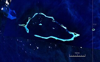
ఈ మునుజూపు పరిమాణం: 800 × 496 పిక్సెళ్ళు. ఇతర రిజల్యూషన్లు: 320 × 199 పిక్సెళ్ళు | 640 × 397 పిక్సెళ్ళు | 883 × 548 పిక్సెళ్ళు.
అసలు దస్త్రం (883 × 548 పిక్సెళ్ళు, ఫైలు పరిమాణం: 289 KB, MIME రకం: image/jpeg)
This is a file from the Wikimedia Commons. Information from its description page there is shown below. Commons is a freely licensed media file repository. You can help. |
సారాంశం
| వివరణ |
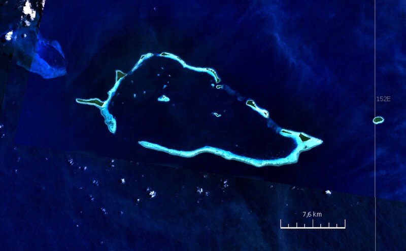
English: Satellite image of Conflict Group atoll, Papua New Guinea |
| తేదీ | 2000s |
| మూలం | NASA World Wind screen shot |
| కర్త | NASA |
లైసెన్సింగ్
| This image is in the public domain because it is a screenshot from NASA’s globe software World Wind using a public domain layer, such as Blue Marble, MODIS, Landsat, SRTM, USGS or GLOBE.
|
 |
ఫైలు చరితం
తేదీ/సమయం ను నొక్కి ఆ సమయాన ఫైలు ఎలా ఉండేదో చూడవచ్చు.
| తేదీ/సమయం | నఖచిత్రం | కొలతలు | వాడుకరి | వ్యాఖ్య | |
|---|---|---|---|---|---|
| ప్రస్తుత | 20:52, 24 ఆగస్టు 2010 | | 883 × 548 (289 KB) | Ratzer | {{Information |Description={{en|1=Satellite image of Conflict Group atoll, Papua New Guinea}} |Source=NASA World Wind screen shot |Author=NASA |Date=2000s |Permission= |other_versions= }} Category:Satellite pictures of Papua New Guinea [[Category:Lou |
లింకులు
కింది పేజీలలో ఈ ఫైలుకు లింకులు ఉన్నాయి:
సార్వత్రిక ఫైలు వాడుక
ఈ దస్త్రాన్ని ఈ క్రింది ఇతర వికీలు ఉపయోగిస్తున్నాయి:
- ceb.wikipedia.org లో వాడుక
- de.wikipedia.org లో వాడుక
- en.wikipedia.org లో వాడుక
- nl.wikipedia.org లో వాడుక
- www.wikidata.org లో వాడుక