దస్త్రం:Dardanelles map.png
ఈ మునుజూపు పరిమాణం: 624 × 600 పిక్సెళ్ళు. ఇతర రిజల్యూషన్లు: 250 × 240 పిక్సెళ్ళు | 500 × 480 పిక్సెళ్ళు | 1,020 × 980 పిక్సెళ్ళు.
అసలు దస్త్రం (1,020 × 980 పిక్సెళ్ళు, ఫైలు పరిమాణం: 219 KB, MIME రకం: image/png)
This is a file from the Wikimedia Commons. Information from its description page there is shown below. Commons is a freely licensed media file repository. You can help. |
సారాంశం
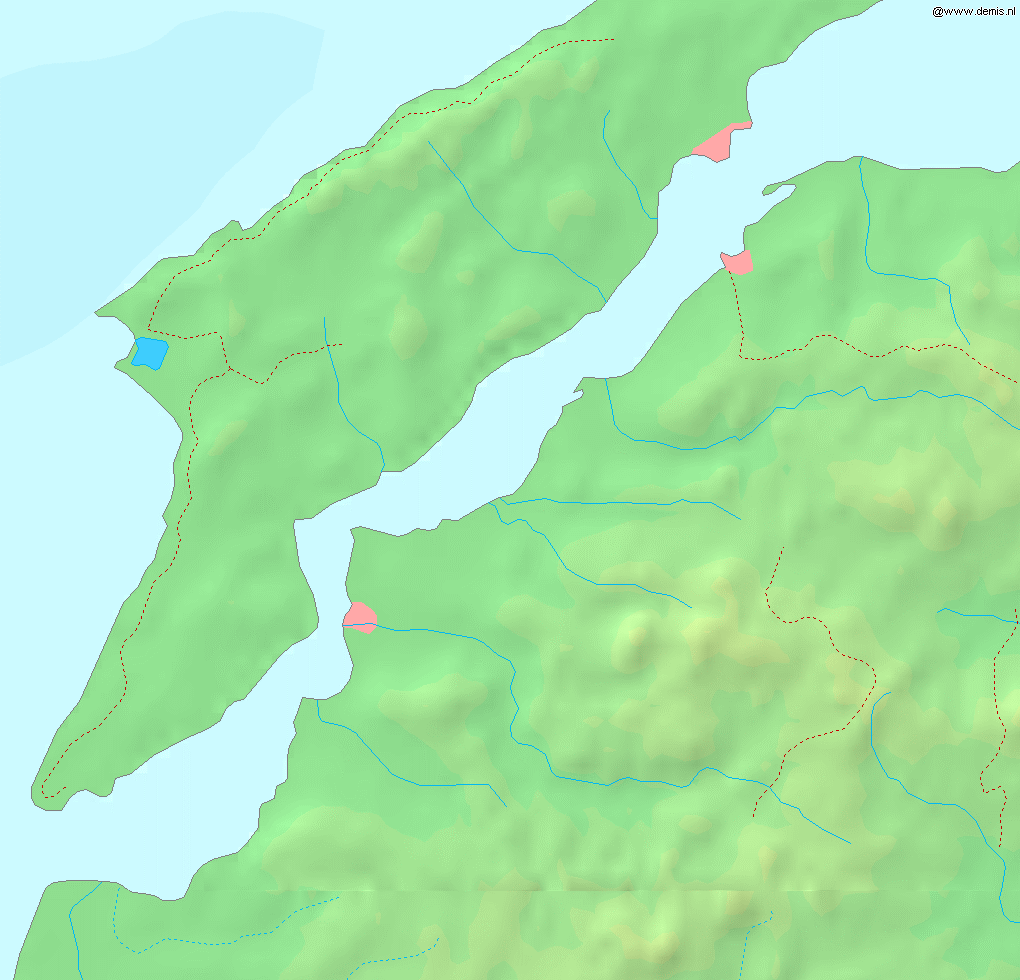
Map of the w:en:Dardanelles strait.
Bounding box West 26.15°, South 39.95°, East 26.9°, North 40.5°.
This image is in the public domain because it came from the site https://www.demis.nl/products/web-map-server/examples/ and was released by the copyright holder. Permission is granted to copy, distribute and/or modify this map since it is based on free of copyright images from: www.demis.nl. See also approval email on de.wp and its clarification.
|
| This work has been released into the public domain' by its copyright holder, www.demis.nl. This applies worldwide. కొన్ని దేశాల్లో ఇది చట్టబద్ధంగా సాధ్యంకాకపోవచ్చు; అయితే: ఈ కృతిని ఎటువంటి షరతులు లేకుండా, అట్టి షరతులు చట్టం వల్ల తప్పనిసరి అయితే తప్ప, ఏ ఉద్దేశానికైనా ఉపయోగించుకునే హక్కును ఎవరికైనా www.demis.nl ప్రదానం చేస్తున్నారు.
|
లైసెన్సింగ్
| నేను, ఈ కృతి యొక్క కాపీహక్కుదారుని, ఈ కృతిని సార్వజనీనం'గా విడుదల చేస్తున్నాను. ఇది ప్రపంచవ్యాప్తంగా వర్తిస్తుంది. కొన్ని దేశాల్లో ఇది చట్టబద్ధంగా సాధ్యంకాకపోవచ్చు; అయితే: ఈ కృతిని ఎటువంటి షరతులు లేకుండా, అట్టి షరతులు చట్టం వల్ల తప్పనిసరి అయితే తప్ప, ఏ ఉద్దేశానికైనా ఉపయోగించుకునే హక్కును ఎవరికైనా నేను ప్రదానం చేస్తున్నాను. |
ఫైలు చరితం
తేదీ/సమయం ను నొక్కి ఆ సమయాన ఫైలు ఎలా ఉండేదో చూడవచ్చు.
| తేదీ/సమయం | నఖచిత్రం | కొలతలు | వాడుకరి | వ్యాఖ్య | |
|---|---|---|---|---|---|
| ప్రస్తుత | 17:53, 6 సెప్టెంబరు 2005 | | 1,020 × 980 (219 KB) | Mats Halldin~commonswiki | Map of the w:en:Dardanelles strait. Bounding box West 26.15°, South 39.95°, East 26.9°, North 40.5°. {{demis-pd}} category:maps of Turkey |
లింకులు
ఈ ఫైలును వాడుతున్న పేజీలు లేవు.
సార్వత్రిక ఫైలు వాడుక
ఈ దస్త్రాన్ని ఈ క్రింది ఇతర వికీలు ఉపయోగిస్తున్నాయి:
- eo.wikipedia.org లో వాడుక
- fr.wikipedia.org లో వాడుక
- sv.wikipedia.org లో వాడుక