దస్త్రం:Karte Deutschland.svg

ఈ ఫైలు SVG కు చెందిన ఈ మునుజూపు PNG పరిమాణం: 443 × 599 పిక్సెళ్ళు. ఇతర రిజల్యూషన్లు: 177 × 240 పిక్సెళ్ళు | 355 × 480 పిక్సెళ్ళు | 567 × 768 పిక్సెళ్ళు | 757 × 1,024 పిక్సెళ్ళు | 1,513 × 2,048 పిక్సెళ్ళు | 592 × 801 పిక్సెళ్ళు.
అసలు దస్త్రం (SVG ఫైలు, నామమాత్రంగా 592 × 801 పిక్సెళ్ళు, ఫైలు పరిమాణం: 208 KB)
This is a file from the Wikimedia Commons. Information from its description page there is shown below. Commons is a freely licensed media file repository. You can help. |
| వివరణ |
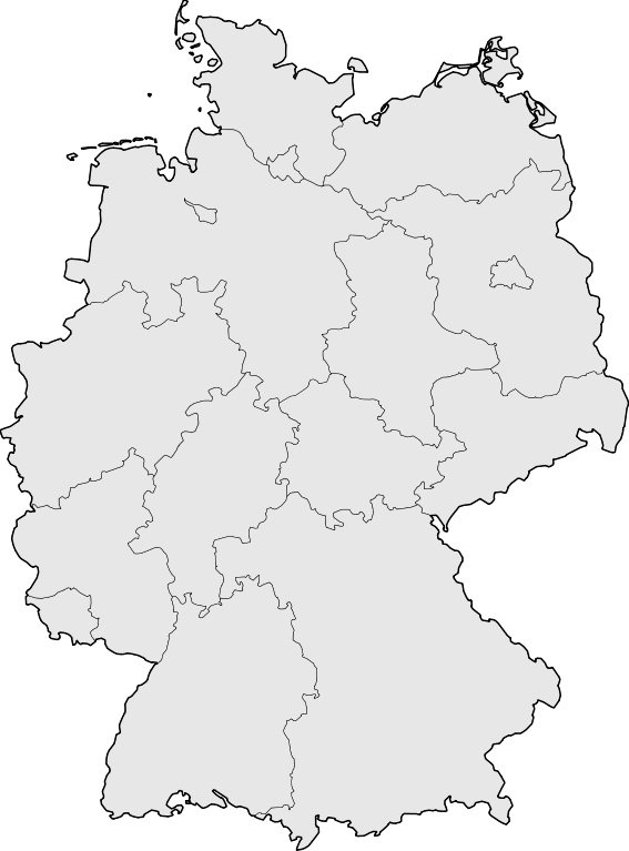
Deutsch: Karte der Bundesrepublik Deutschland mit den Grenzen der 16 Bundesländer.
English: Map of Germany with the borders of the 16 federal states.
|
| తేదీ | |
| మూలం | Based on Image:Karte Deutsche Bundesländer (nummeriert).svg, color scheme of Image:Karte Deutschland.png applied. |
| కర్త | David Liuzzo |
| అనుమతి (ఈ దస్త్రాన్ని పునర్వినియోగించుకోవడం) |
ఈ దస్త్రం క్రియేటివ్ కామన్స్ ఆపాదింపు-యథాతథ పంచుకోలు 2.0 జర్మనీ లైసెన్సు క్రింద లభ్యం.
 |
| ఇతర కూర్పులు |
Derivative works of this file:
|
| SVG పెరుగుదల | This map was created with Adobe Illustrator, with Sodipodi |


.svg)
ఫైలు చరితం
తేదీ/సమయం ను నొక్కి ఆ సమయాన ఫైలు ఎలా ఉండేదో చూడవచ్చు.
| తేదీ/సమయం | నఖచిత్రం | కొలతలు | వాడుకరి | వ్యాఖ్య | |
|---|---|---|---|---|---|
| ప్రస్తుత | 08:51, 18 మార్చి 2008 | | 592 × 801 (208 KB) | TMg | Border lines a little bit darker so they are equal when viewing both images in the same size, e.g. 140px. |
| 20:34, 20 ఆగస్టు 2007 |  | 592 × 801 (209 KB) | Kjunix | {{Information| |Description= {{de|Karte der Bundesrepublik Deutschland mit eingezeichneten Grenzen der Bundesländer.}} |Source=based on Karte Deutsche Bundesländer (nummeriert).svg, color schem |
.svg)
లింకులు
ఈ ఫైలును వాడుతున్న పేజీలు లేవు.